
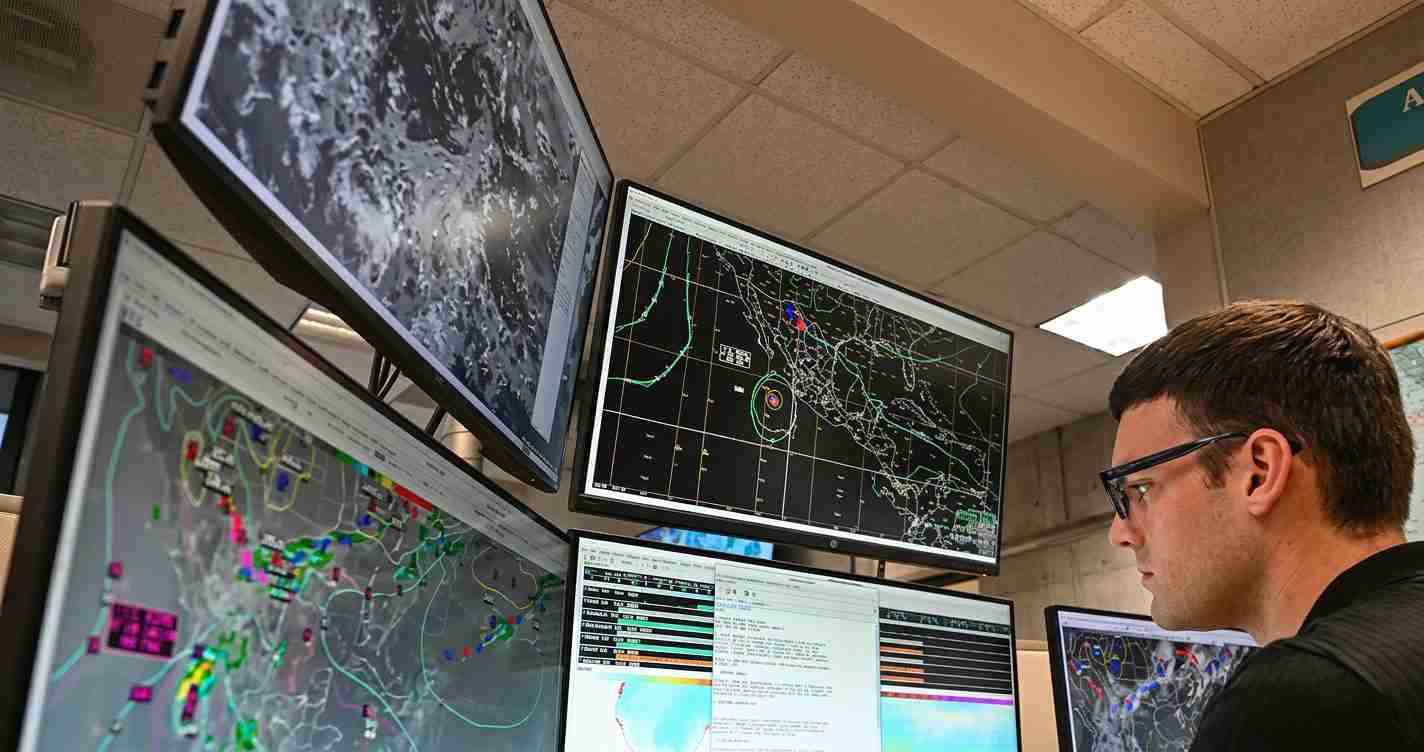
NOAA predicts below-average 2026 Atlantic hurricane season, citing high odds of El Niño that should curb storm formation
NOAA forecasts a below‑normal 2026 Atlantic hurricane season, with 8–14 named storms, 3–6 hurricanes and 1–3 major hurricanes, citing a very high probability of El Niño that is expected to suppress storm formation despite warmer Atlantic waters.
- Forecast ranges: 8–14 named storms; 3–6 hurricanes; 1–3 major hurricanes. See the NOAA/CPC 2026 outlook.
- El Niño odds: ~98% chance of El Niño during Aug–Oct, ~81% chance of at least moderate strength — the primary suppressing factor. See CPC ENSO strengths.
- ACE estimate: Accumulated Cyclone Energy (ACE) expected to be about 45–115% of the median per the NOAA/CPC outlook.
- Regional impacts: Fewer Atlantic storms does not eliminate landfall risk; El Niño may increase Pacific storminess and winter precipitation for California, including San Luis Obispo.
NOAA outlook and key probabilities
The NOAA Climate Prediction Center (CPC) 2026 Atlantic hurricane outlook assigns a 55% chance of a below‑normal season, 35% chance of near‑normal and 10% chance of above‑normal activity. The central forecast range is 8–14 named storms, 3–6 hurricanes and 1–3 major (Category 3+) hurricanes.
Why NOAA expects a below‑normal season: the El Niño factor
El Niño — the warm phase of the El Niño–Southern Oscillation (ENSO) — typically suppresses Atlantic cyclone development by strengthening upper‑level winds and increasing vertical wind shear. CPC outlooks indicate about a 98% chance El Niño will be present during the August–October peak and roughly an 81% chance it will be at least of moderate strength, a key driver behind the subdued forecast (CPC ENSO strengths).
“El Niño’s stronger upper‑level winds tend to shift tropical convection and storm activity eastward, boosting the Eastern and Central Pacific while suppressing Atlantic development.” — NOAA briefing summary
How El Niño suppresses Atlantic storms
During El Niño, warmer Pacific sea surface temperatures and altered atmospheric circulation enhance upper‑level winds across the tropical Atlantic, which increase vertical wind shear — differences in wind speed and direction with height — that disrupt nascent tropical cyclones. NOAA explains this mechanism in its ENSO resources (NOAA ENSO explainer, NOAA Ocean Service, NWS explainer).
Warm Atlantic waters are a competing factor
NOAA notes modestly above‑normal sea surface temperature anomalies across much of the North Atlantic (about +0.27°C in their analysis) that are forecast to remain above average into the peak months. Warmer water normally fuels storms, but NOAA judges that El Niño’s suppressive influence — primarily increased vertical wind shear — should outweigh the extra ocean heat this season (NOAA/CPC outlook).
Comparing NOAA with Colorado State University forecasts
Colorado State University (CSU) issued an April outlook calling for about 13 named storms, 6 hurricanes and 2 major hurricanes, numbers that align broadly with NOAA’s message of below‑to‑near‑normal activity and sit within NOAA’s wider 70% probability ranges. CSU also points to ENSO — a strong or “Super El Niño” — as the main controlling factor for 2026. The agreement between institutions reinforces the expectation that El Niño will be decisive, though forecasters stress that fewer storms does not remove the risk of a damaging landfall.
How ENSO timing matters
ENSO has three phases: El Niño (warm), La Niña (cool) and neutral. The timing of El Niño’s development is crucial: if it strengthens and couples to the atmosphere before the August–October peak, its suppressive effects on Atlantic activity will be strongest. If it arrives late, early‑season activity (June–July) could be less affected. Climatologically, the first named storm forms around June 20 and the first hurricane around August 11, so late‑June through mid‑August conditions help set seasonal totals (ENSO basics).
Geographic shift in hurricane risk: Atlantic versus Pacific
El Niño typically reduces Atlantic tropical storms while enhancing activity in the Eastern and Central Pacific. That shift can mean more storms forming closer to Mexico and Central America — often with shorter lead times — while the Atlantic basin may see fewer but still potentially intense cyclones. NOAA discussed this trade‑off in its public briefing (NOAA briefing video).
Timing, uncertainty and preparedness
NOAA’s outlook provides probability ranges (70% ranges for storm counts and categorical odds) but cannot predict individual storm tracks, intensities, or landfalls months in advance. Forecasters emphasize preparedness: a single storm can define a season’s impact regardless of overall counts. Monitor local National Weather Service updates and community emergency guidance (National Weather Service).
Implications for San Luis Obispo, California
Economic: Strong El Niño winters can shift Pacific storm tracks and increase risk of wetter winters or late‑season storms, affecting agriculture, tourism and infrastructure in San Luis Obispo County.
Political: Local officials and emergency managers should track both national hurricane outlooks and regional ENSO guidance; budget and planning pressures may rise for flood control, road repairs and emergency services.
Social and cultural: Coastal communities face elevated risks of high surf, storm surge, erosion and cliff instability. El Niño’s wetter patterns could disrupt tourism, events and outdoor recreation while potentially replenishing water supplies.
Practical steps for residents: Check flood insurance, trim vegetation near drains, secure outdoor furniture, confirm evacuation routes and shelter locations, and monitor NOAA, NWS and local emergency updates (NOAA/CPC outlook, NOAA ENSO resources).
Sources
- NOAA Climate Prediction Center — 2026 Atlantic hurricane outlook
- NOAA ENSO information
- NOAA Ocean Service — El Niño/La Niña facts
- National Weather Service — El Niño and La Niña impacts
- CPC ENSO strength probabilities
- NOAA briefing video
Reporting by Times Media Service.
